 geocatalogue.geoportail.lu
Urban Farming>Cadastral data
Type of resources
Available actions
Topics
Keywords
Contact for the resource
Provided by
Groups
Years
Representation types
Update frequencies
status
Scale
-
-

This layer shows the parcel numbers, composed of main number and subnumber.
-
This layer shows the borders of the cadastral sections, administrative subdivisions of the 130 municipalities as they existed in the beginning of the 19th century, when the cadastre was created in Luxemburg.
-
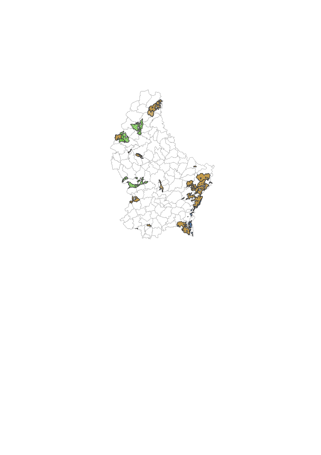
Zones defining where land consolidation has been done according to the law of 1964. This is useful in order to find out whether a parcel is concerned by the given law or not.
-
This layer contains the contours of the map sheets of the original cadastral map for the actual territory of the Grand-Duchy of Luxembourg, as it has been created and updated between 1811 and 1832. Every polygon contains a link to the scanned document, that can be opened and downloaded in form of PNG files. It is one the set, which has been kept in the archives of the administration du cadastre et de la topographie. At the time of their original use, all the modifications that occured to the parcels were recorded on the map sheets themselves by erasing and drawing. This, as well as their regular use, may explain the imperfect state of some particular map sheets. A 2nd set of map sheets is kept in the national archives.
-

This layer contains the region name from the cadastral map. It cannot be shown together with geodata of another type of precision.
-
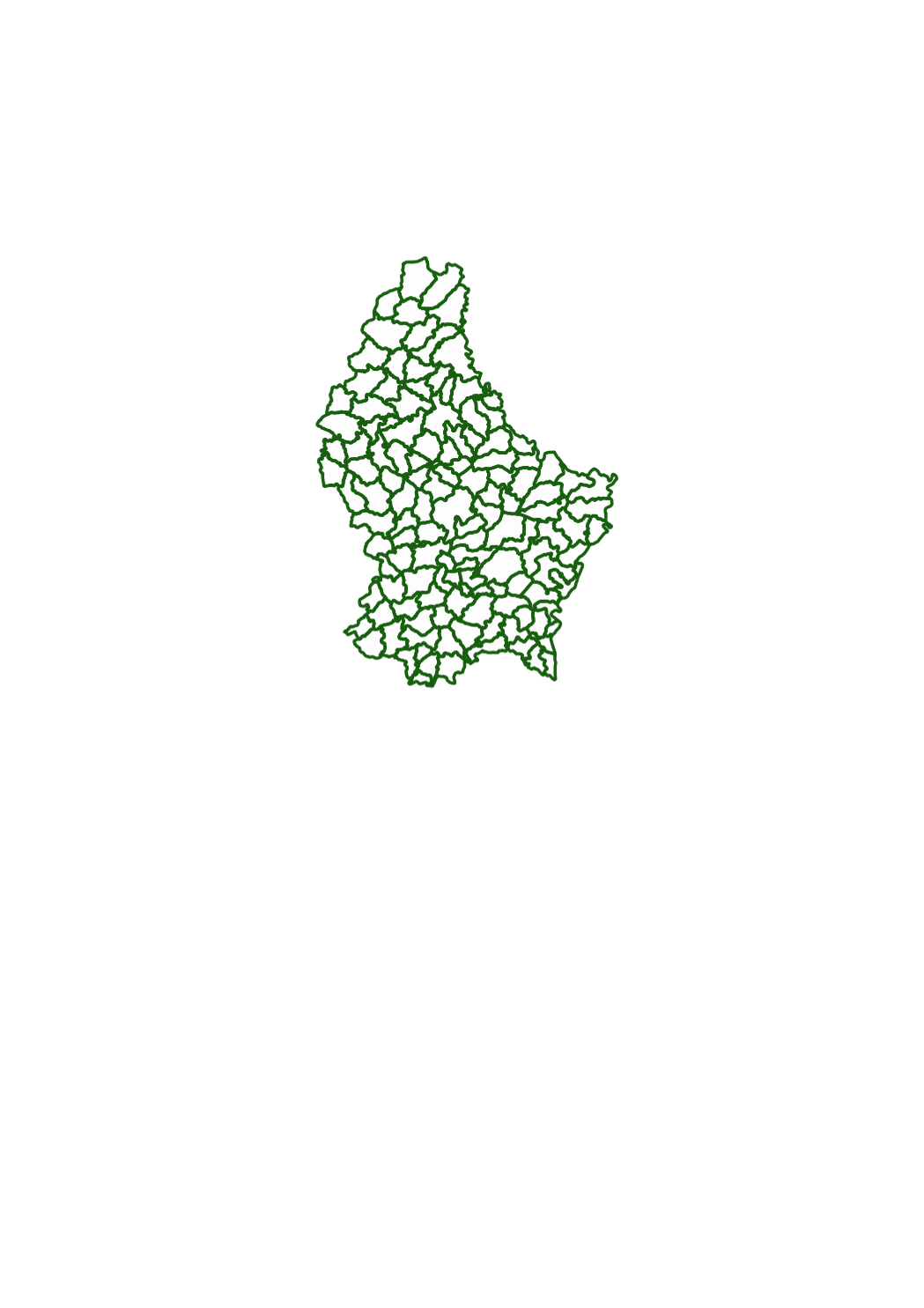
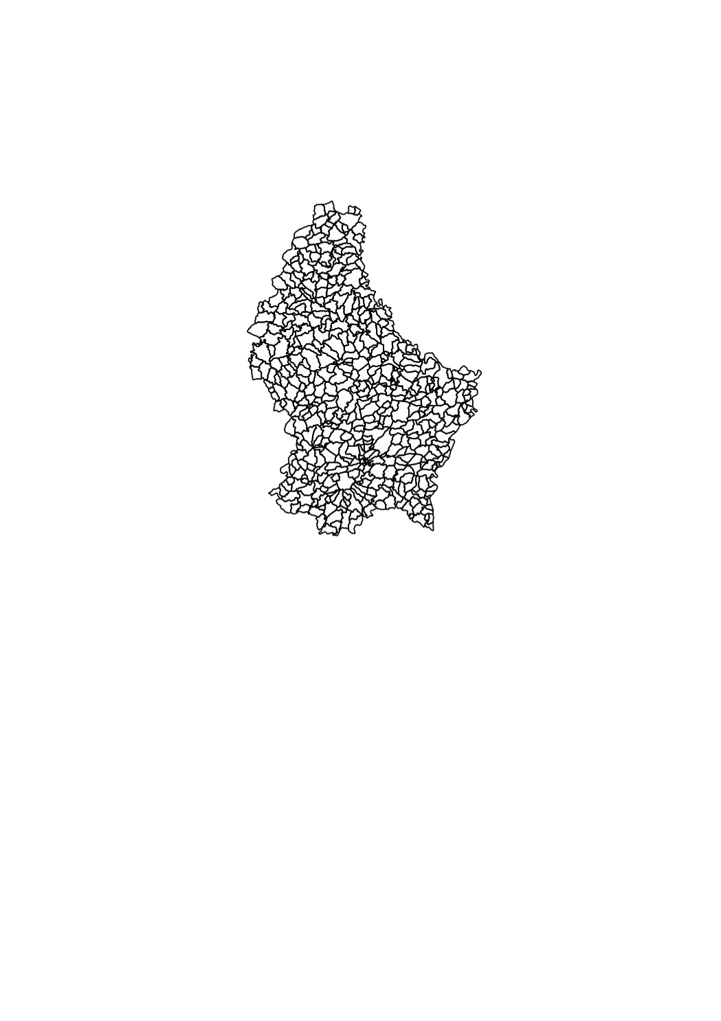
This layer shows the borders of the 130 municipalities as they existed in the beginning of the 19th century, when the cadastre was created in Luxemburg.
-
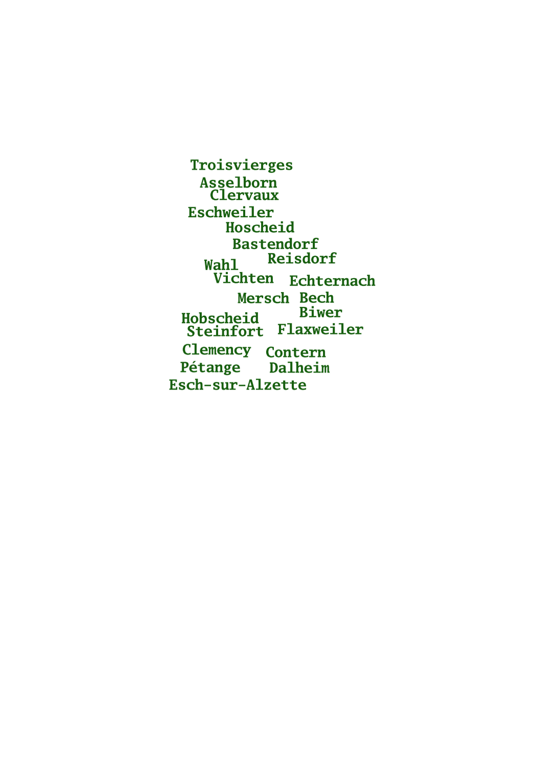
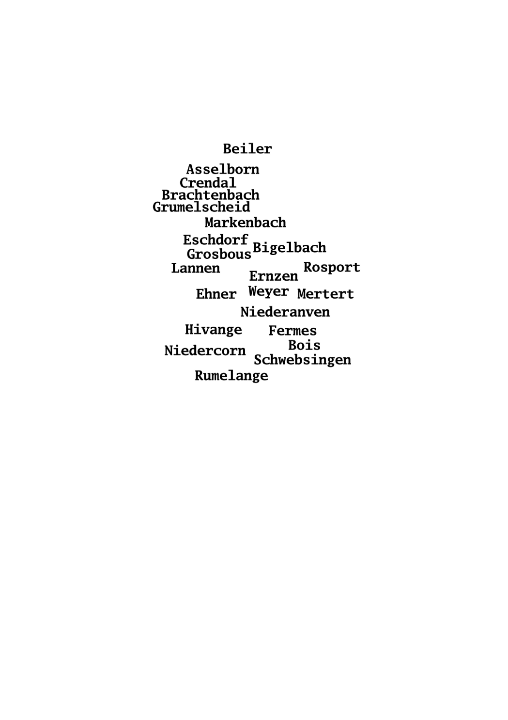
This layer shows the names of the 130 municipalities as they existed in the beginning of the 19th century, when the cadastre was created in Luxemburg.
-
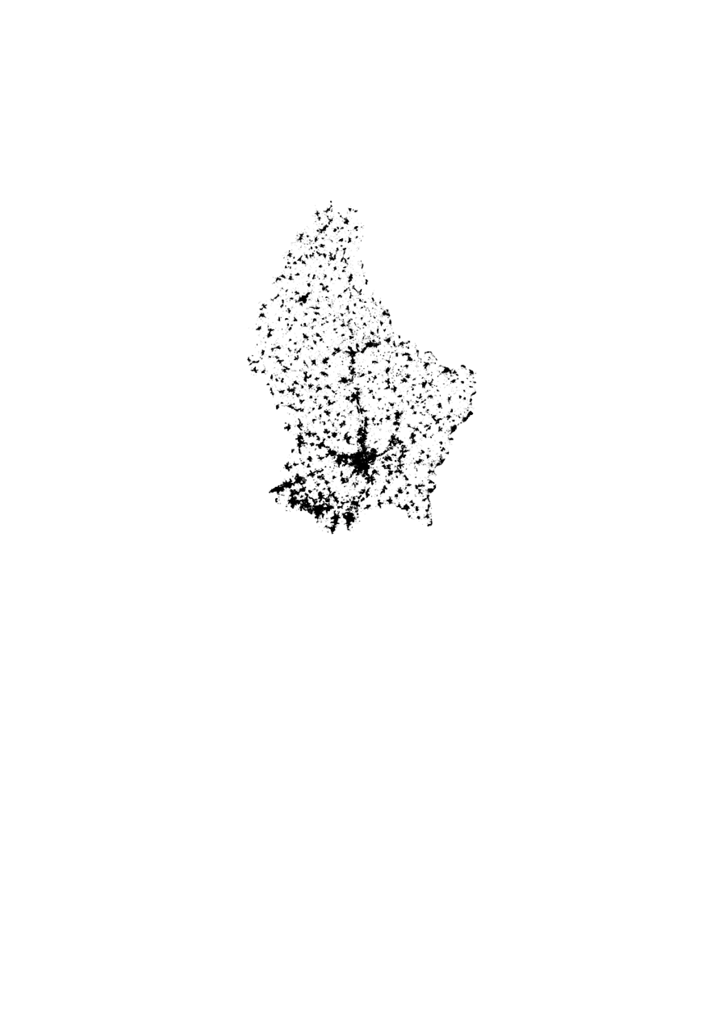
This layer contains the buildings from the cadastral map. It cannot be shown together with geodata of another type of precision.
-
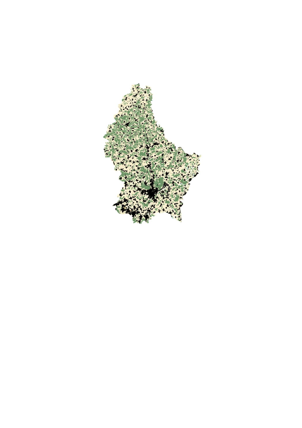
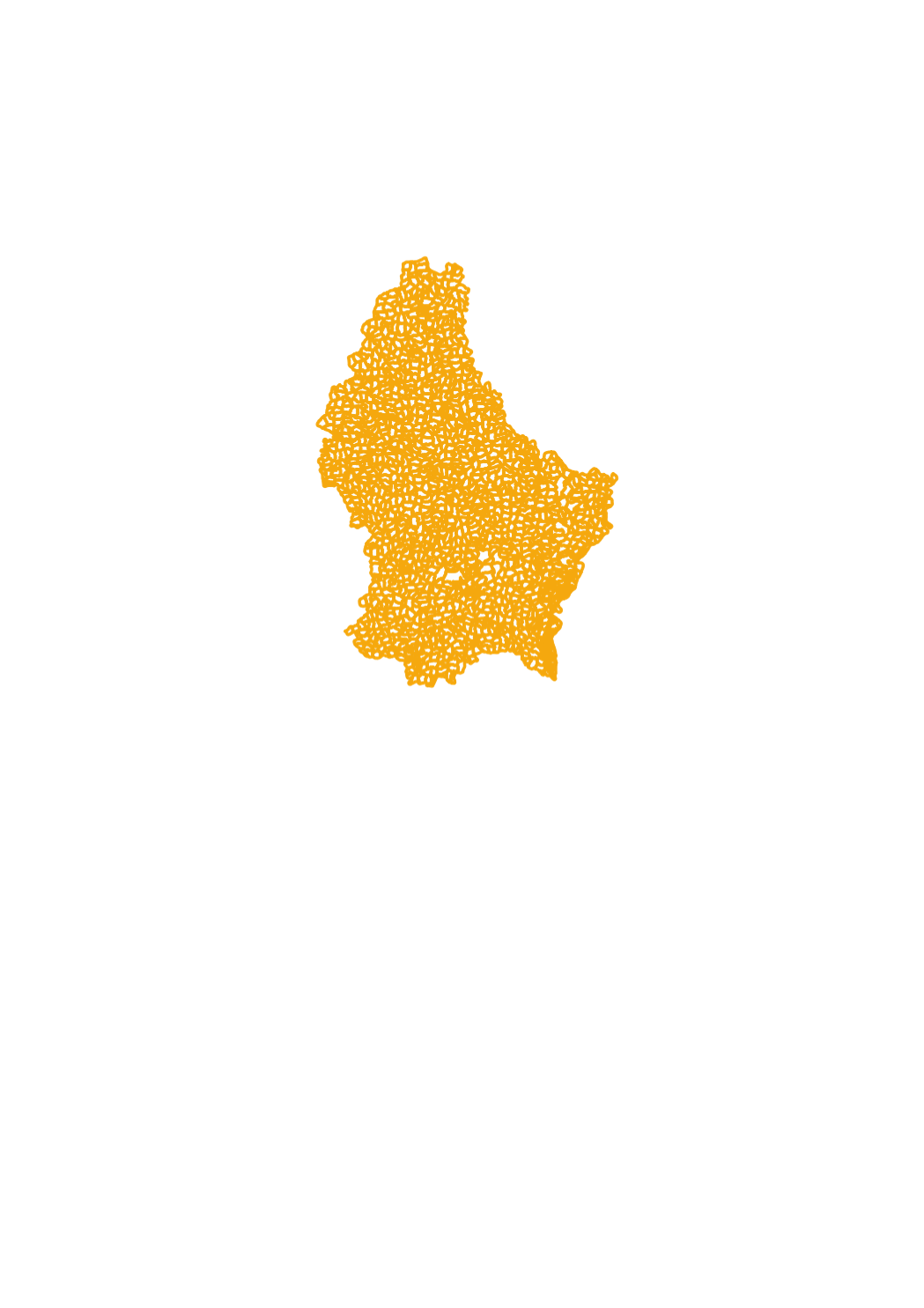
This layer contains the cadastral parcels of the cadastral database. It cannot be shown together with geodata of another type of precision.